 vesseltracker.com
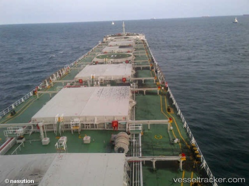
Vessel Rui Ning 20 IMO: 9595682, MMSI: 414058000 Bulk Carrier
UTC, -2.26080, 142.52530, course: 113, speed: 13.5
UTC, -2.36003, 142.74565, course: 113, speed: 13.2
2026-02-13 14:31:26 UTC, -2.61770, 143.33624, course: 112, speed: 12
Live AIS position:
UTC. 91 nm N of Yentchan),
updated 2026-02-13 14:31:26 UTC.
Find the position of the vessel Rui Ning 20 on the map. The latter are known coordinates and path.
marine traffic ship tracker show on live map
The current position of vessel Rui Ning 20 is -2.61770 lat / 143.33624 lng. Updated: 2026-02-13 14:31:26 UTCDetails:
Last coordinates of the vessel:
UTC, -2.00418, 141.92908, course: 112, speed: 13.3UTC, -2.26080, 142.52530, course: 113, speed: 13.5
UTC, -2.36003, 142.74565, course: 113, speed: 13.2
2026-02-13 14:31:26 UTC, -2.61770, 143.33624, course: 112, speed: 12