 vesseltracker.com
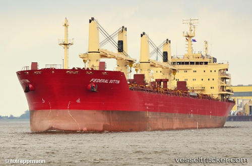
Federal Sutton
Current StatusWhere is the vessel?
Federal Sutton is currently in Near Longueuil, based on AIS data received about 1h ago.
Latest AIS update:
Current position: 45.54627° N, 73.52793° W (Near Longueuil)
Average speed (last 7 days): Loading…
Average speed (last 30 days): Loading…
Vessel profile: Federal Sutton is a Bulk Carrier with dimensions 28m x 189m.
This page combines live AIS, route history, probable destination signals, nearby traffic, and port activity for practical vessel monitoring.
The current position of vessel Federal Sutton is 45.54627 lat / -73.52793 lng. Updated: 2026-04-03 21:25:09 UTCNearest reference points:
- Near Longueuil
- Near Montreal
- Near Montréal-Est
Details:
Live Vessel Federal Sutton Analytics (details, animations, etc.)
Recent AIS points (UTC):
2026-04-03 15:58:10 UTC · 45.54625, -73.52793 · SOG 0 kn · COG 255°2026-04-03 17:49:12 UTC · 45.54628, -73.52792 · SOG 0 kn · COG -1°
2026-04-03 19:58:12 UTC · 45.54630, -73.52790 · SOG 0 kn · COG 255°
2026-04-03 21:25:09 UTC · 45.54627, -73.52793 · SOG 0 kn · COG 255°