 vesseltracker.com
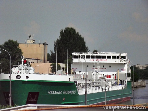
 FTM 24
Current Status
Where is the vessel?
FTM 24 is currently in Near Kirikakiri, based on AIS data received less than 1h ago.
Latest AIS update:
Current position: 4.42667° N, 6.32500° E (Near Kirikakiri)
Average speed (last 7 days): Loading…
Average speed (last 30 days): Loading…
Vessel profile: FTM 24 is a Oil Products Tanker with dimensions m x m.
This page combines live AIS, route history, probable destination signals, nearby traffic, and port activity for practical vessel monitoring.
The current position of vessel FTM 24 is 4.42667 lat / 6.32500 lng. Updated: 2026-04-21 03:09:48 UTCNearest reference points:
- 21 nm SW of Bonny
- 12 nm N of Okwori
- Near Port Harcourt
Currently sailing under the flag of Marshall Islands ![]()
Details:
Live Vessel FTM 24 Analytics (details, animations, etc.)
Recent AIS points (UTC):
2026-04-20 23:57:48 UTC · 4.42667, 6.32500 · SOG 0 kn · COG -1°2026-04-21 01:27:47 UTC · 4.42667, 6.32500 · SOG 0 kn · COG -1°
2026-04-21 01:27:47 UTC · 4.42667, 6.32500 · SOG 0 kn · COG -1°
2026-04-21 03:09:48 UTC · 4.42667, 6.32500 · SOG 0 kn · COG -1°