 vesseltracker.com
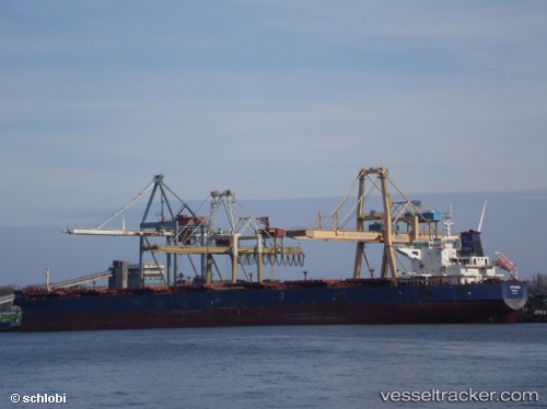
 RIXTA OLDENDORFF
Current Status
Where is the vessel?
RIXTA OLDENDORFF is currently in 35 nm S of Cape St. Francis, based on AIS data received less than 1h ago.
Latest AIS update:
Current position: 34.74301° S, 24.66159° E (35 nm S of Cape St. Francis)
Average speed (last 7 days): Loading…
Average speed (last 30 days): Loading…
Vessel profile: RIXTA OLDENDORFF is a Bulk Carrier with dimensions 260m x 43m.
This page combines live AIS, route history, probable destination signals, nearby traffic, and port activity for practical vessel monitoring.
The current position of vessel RIXTA OLDENDORFF is -34.74301 lat / 24.66159 lng. Updated: 2026-04-06 03:45:55 UTCNearest reference points:
- 21 nm S of Mount Pleasant
- Near Deal Party
- Near Mosselbaai
Currently sailing under the flag of Liberia ![]()
RIXTA OLDENDORFF built in 2011 year
Deadweight:
121624 tDetails:
Live Vessel RIXTA OLDENDORFF Analytics (details, animations, etc.)
Recent AIS points (UTC):
2026-04-05 21:40:13 UTC · -34.84333, 23.90333 · SOG 5 kn · COG -1°2026-04-05 23:22:12 UTC · -34.81167, 24.10667 · SOG 6 kn · COG -1°
2026-04-06 02:22:50 UTC · -34.76642, 24.48498 · SOG 5.9 kn · COG 80°
2026-04-06 03:45:55 UTC · -34.74301, 24.66159 · SOG 6.1 kn · COG 80°