 vesseltracker.com
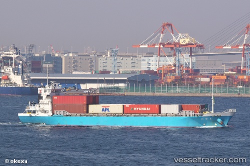
 Otagawa
Current Status
Where is the vessel?
Otagawa is currently in Near Yokohama, based on AIS data received less than 1h ago.
Latest AIS update:
Current position: 35.47632° N, 139.65062° E (Near Yokohama)
Average speed (last 7 days): Loading…
Average speed (last 30 days): Loading…
Vessel profile: Otagawa is a General Cargo Ship with dimensions 70m x 13m.
This page combines live AIS, route history, probable destination signals, nearby traffic, and port activity for practical vessel monitoring.
The current position of vessel Otagawa is 35.47632 lat / 139.65062 lng. Updated: 2026-04-23 04:56:12 UTCNearest reference points:
- Near Yokohama
- Near Kawasaki
- Near Naka-Ku, Kanagawa
Currently sailing under the flag of Japan ![]()
Details:
Live Vessel Otagawa Analytics (details, animations, etc.)
Recent AIS points (UTC):
2026-04-22 23:45:14 UTC · 35.47627, 139.65068 · SOG 0.3 kn · COG 83°2026-04-23 01:23:33 UTC · 35.47631, 139.65063 · SOG 0 kn · COG 84°
2026-04-23 04:02:04 UTC · 35.47631, 139.65060 · SOG 0.1 kn · COG 84°
2026-04-23 04:56:12 UTC · 35.47632, 139.65062 · SOG 0 kn · COG 84°