 vesseltracker.com
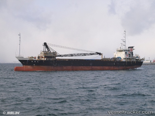
 Hakuyu Maru
Current Status
Where is the vessel?
Hakuyu Maru is currently in Near Kawasaki, based on AIS data received about 1h ago.
Latest AIS update:
Current position: 35.52042° N, 139.74945° E (Near Kawasaki)
Average speed (last 7 days): Loading…
Average speed (last 30 days): Loading…
Vessel profile: Hakuyu Maru is a General Cargo Ship with dimensions 71m x 13m.
This page combines live AIS, route history, probable destination signals, nearby traffic, and port activity for practical vessel monitoring.
The current position of vessel Hakuyu Maru is 35.52042 lat / 139.74945 lng. Updated: 2026-03-29 03:31:39 UTCNearest reference points:
- Near Kawasaki
- Near Aomi
- Near Yokohama
Currently sailing under the flag of Japan ![]()
Details:
Live Vessel Hakuyu Maru Analytics (details, animations, etc.)
Recent AIS points (UTC):
2026-03-28 22:00:11 UTC · 35.48708, 139.79921 · SOG 0.1 kn · COG 9°2026-03-29 00:06:00 UTC · 35.52042, 139.74945 · SOG 0.1 kn · COG 223°
2026-03-29 01:32:20 UTC · 35.52042, 139.74945 · SOG 0.1 kn · COG 223°
2026-03-29 03:31:39 UTC · 35.52042, 139.74945 · SOG 0.1 kn · COG 224°