 vesseltracker.com
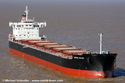
Nasaka
Current StatusWhere is the vessel?
Nasaka is currently in 47 nm S of Kukdo, based on AIS data received about 1d ago.
Latest AIS update:
Current position: 33.77132° N, 128.21744° E (47 nm S of Kukdo)
Average speed (last 7 days): Loading…
Average speed (last 30 days): Loading…
Vessel profile: Nasaka is a Bulk Carrier with dimensions 33m x 229m.
This page combines live AIS, route history, probable destination signals, nearby traffic, and port activity for practical vessel monitoring.
The current position of vessel Nasaka is 33.77132 lat / 128.21744 lng. Updated: 2026-04-10 07:32:12 UTCNearest reference points:
- 35 nm E of Geomundo
- 25 nm S of Kukdo
- 33 nm W of IZUHARA
Details:
Live Vessel Nasaka Analytics (details, animations, etc.)
Recent AIS points (UTC):
2026-04-10 01:49:07 UTC · 34.46166, 128.92636 · SOG 9.4 kn · COG -1°2026-04-10 03:54:54 UTC · 34.21452, 128.66859 · SOG 9.5 kn · COG 225°
2026-04-10 05:27:01 UTC · 34.03781, 128.49042 · SOG 9.5 kn · COG -1°
2026-04-10 07:32:12 UTC · 33.77132, 128.21744 · SOG 9.8 kn · COG -1°