 vesseltracker.com
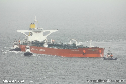
 SEAKING
Current Status
Where is the vessel?
SEAKING is currently in 370 nm S of Diego Garcia, based on AIS data received about 1h ago.
Latest AIS update:
Current position: 13.46056° S, 72.75555° E (370 nm S of Diego Garcia)
Average speed (last 7 days): Loading…
Average speed (last 30 days): Loading…
Vessel profile: SEAKING is a Crude Oil Tanker with dimensions m x m.
This page combines live AIS, route history, probable destination signals, nearby traffic, and port activity for practical vessel monitoring.
The current position of vessel SEAKING is -13.46056 lat / 72.75555 lng. Updated: 2026-04-08 05:41:42 UTCNearest reference points:
- 376 nm S of Diego Garcia
- Open sea (no nearby ports in database)
- Open sea, approx. 401 nm off the nearest listed port
Currently sailing under the flag of Malta ![]()
Details:
Live Vessel SEAKING Analytics (details, animations, etc.)
Recent AIS points (UTC):
2026-04-08 01:59:51 UTC · -12.89378, 73.42374 · SOG 13.9 kn · COG 226°2026-04-08 03:50:21 UTC · -13.17446, 73.09030 · SOG 13.8 kn · COG 222°
2026-04-08 03:50:21 UTC · -13.17446, 73.09030 · SOG 13.8 kn · COG 222°
2026-04-08 05:41:42 UTC · -13.46056, 72.75555 · SOG 14 kn · COG 225°