 vesseltracker.com
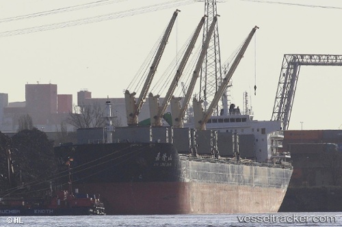
 PROTECTOR ST. NICKOLAS
Current Status
Where is the vessel?
PROTECTOR ST. NICKOLAS is currently in Near Poti, based on AIS data received about 1d ago.
Latest AIS update:
Current position: 42.15732° N, 41.65611° E (Near Poti)
Average speed (last 7 days): Loading…
Average speed (last 30 days): Loading…
Vessel profile: PROTECTOR ST. NICKOLAS is a Bulk Carrier with dimensions 189m x 189m.
This page combines live AIS, route history, probable destination signals, nearby traffic, and port activity for practical vessel monitoring.
The current position of vessel PROTECTOR ST. NICKOLAS is 42.15732 lat / 41.65611 lng. Updated: 2026-04-10 07:29:11 UTCNearest reference points:
- Near Poti
- Near KULEVI
- Near Sup'sa
Currently sailing under the flag of Liberia ![]()
PROTECTOR ST. NICKOLAS built in 2011 year
Deadweight:
56603 tDetails:
Live Vessel PROTECTOR ST. NICKOLAS Analytics (details, animations, etc.)
Recent AIS points (UTC):
2026-04-10 02:29:08 UTC · 42.15737, 41.65604 · SOG 0 kn · COG 274°2026-04-10 03:59:05 UTC · 42.15740, 41.65602 · SOG 0 kn · COG 274°
2026-04-10 06:20:11 UTC · 42.15734, 41.65610 · SOG 0 kn · COG 274°
2026-04-10 07:29:11 UTC · 42.15732, 41.65611 · SOG 0 kn · COG 274°