 vesseltracker.com
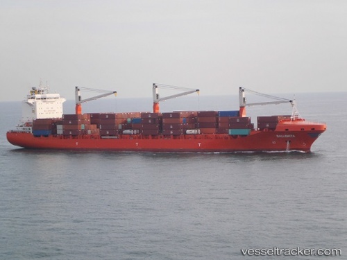
Ballenita
Current StatusWhere is the vessel?
Ballenita is currently in 46 nm S of 'Adan, based on AIS data received about 1d ago.
Latest AIS update:
Current position: 12.03433° N, 45.25200° E (46 nm S of 'Adan)
Average speed (last 7 days): Loading…
Average speed (last 30 days): Loading…
Vessel profile: Ballenita is a Container Ship with dimensions 30m x 208m.
This page combines live AIS, route history, probable destination signals, nearby traffic, and port activity for practical vessel monitoring.
The current position of vessel Ballenita is 12.03433 lat / 45.25200 lng. Updated: 2026-04-10 06:49:22 UTCNearest reference points:
- Near Djibouti
Details:
Live Vessel Ballenita Analytics (details, animations, etc.)
Recent AIS points (UTC):
2026-04-10 02:26:22 UTC · 12.36117, 46.28067 · SOG 14.2 kn · COG 252°2026-04-10 03:45:08 UTC · 12.26167, 45.97833 · SOG 14 kn · COG -1°
2026-04-10 06:02:13 UTC · 12.09400, 45.44150 · SOG 14.7 kn · COG 252°
2026-04-10 06:49:22 UTC · 12.03433, 45.25200 · SOG 15 kn · COG 252°