 vesseltracker.com
 MED LIGURIA
Current Status
Where is the vessel?
MED LIGURIA is currently in 30 nm S of Nedroma, based on AIS data received less than 1h ago.
Latest AIS update:
Current position: 34.50449° N, 14.61336° W (30 nm S of Nedroma)
Average speed (last 7 days): Loading…
Average speed (last 30 days): Loading…
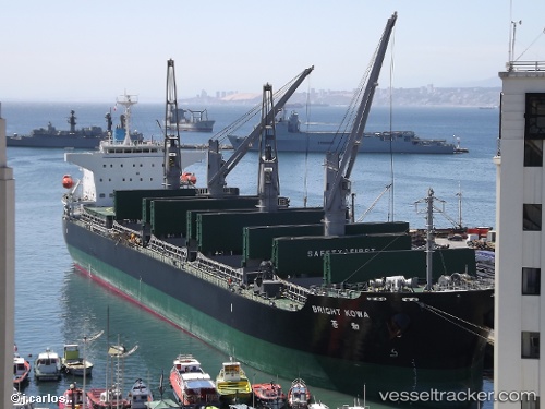
Vessel profile: MED LIGURIA is a Bulk Carrier with dimensions m x m.
This page combines live AIS, route history, probable destination signals, nearby traffic, and port activity for practical vessel monitoring.
The current position of vessel MED LIGURIA is 34.50449 lat / -14.61336 lng. Updated: 2026-04-18 01:23:26 UTCNearest reference points:
- 104 nm W of Jarjis
- 78 nm W of Nedroma
- 75 nm NE of Nedroma
Currently sailing under the flag of Liberia ![]()
Details:
Live Vessel MED LIGURIA Analytics (details, animations, etc.)
Recent AIS points (UTC):
2026-04-17 19:55:05 UTC · 34.74343, -13.37954 · SOG 11.5 kn · COG 258°2026-04-17 22:15:20 UTC · 34.64180, -13.91062 · SOG 11.4 kn · COG 267°
2026-04-17 23:20:47 UTC · 34.59672, -14.15664 · SOG 11.2 kn · COG 253°
2026-04-18 01:23:26 UTC · 34.50449, -14.61336 · SOG 11.2 kn · COG 259°