 vesseltracker.com
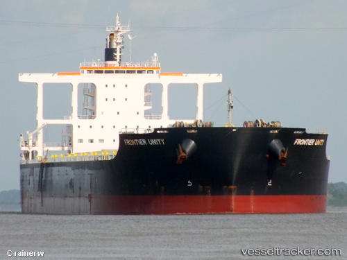
 FRONTIER
Current Status
Where is the vessel?
FRONTIER is currently in 11 nm SW of Caofeidian Pt, based on AIS data received less than 1h ago.
Latest AIS update:
Current position: 38.79224° N, 118.42661° E (11 nm SW of Caofeidian Pt)
Average speed (last 7 days): Loading…
Average speed (last 30 days): Loading…
Vessel profile: FRONTIER is a Bulk Carrier with dimensions m x m.
This page combines live AIS, route history, probable destination signals, nearby traffic, and port activity for practical vessel monitoring.
The current position of vessel FRONTIER is 38.79224 lat / 118.42661 lng. Updated: 2026-04-17 15:44:54 UTCNearest reference points:
- 15 nm SE of Taku Bar
- Near Caofeidian Pt
- Near Taku Bar
Currently sailing under the flag of Liberia ![]()
Details:
Live Vessel FRONTIER Analytics (details, animations, etc.)
Recent AIS points (UTC):
2026-04-17 09:45:08 UTC · 38.80743, 118.86692 · SOG 7.6 kn · COG 264°2026-04-17 11:59:56 UTC · 38.82524, 118.51318 · SOG 5.7 kn · COG 238°
2026-04-17 13:35:52 UTC · 38.79279, 118.43292 · SOG 0.2 kn · COG 268°
2026-04-17 15:44:54 UTC · 38.79224, 118.42661 · SOG 0.2 kn · COG 96°