 vesseltracker.com
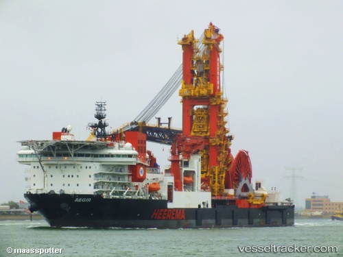
Aegir
Current StatusWhere is the vessel?
Aegir is currently in 12 nm S of Brass River, based on AIS data received about 2h ago.
Latest AIS update:
Current position: 3.87366° N, 6.35876° E (12 nm S of Brass River)
Average speed (last 7 days): Loading…
Average speed (last 30 days): Loading…
Vessel profile: Aegir is a Pipe Layer with dimensions 46m x 209m.
This page combines live AIS, route history, probable destination signals, nearby traffic, and port activity for practical vessel monitoring.
The current position of vessel Aegir is 3.87366 lat / 6.35876 lng. Updated: 2026-03-29 00:15:07 UTCNearest reference points:
- 12 nm N of Okwori
- 21 nm SW of Bonny
- Near Bonny
Details:
Live Vessel Aegir Analytics (details, animations, etc.)
Recent AIS points (UTC):
2026-03-28 17:32:14 UTC · 3.87373, 6.35863 · SOG 0 kn · COG 205°2026-03-28 19:32:09 UTC · 3.87374, 6.35877 · SOG 0 kn · COG 196°
2026-03-28 21:37:15 UTC · 3.87372, 6.35877 · SOG 0 kn · COG 196°
2026-03-29 00:15:07 UTC · 3.87366, 6.35876 · SOG 0.1 kn · COG 196°