 vesseltracker.com
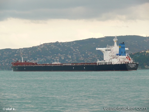
Flag Thenia
Current StatusWhere is the vessel?
Flag Thenia is currently in 42 nm SW of Yeonpyeongdo, based on AIS data received about 1h ago.
Latest AIS update:
Current position: 37.04798° N, 125.25030° E (42 nm SW of Yeonpyeongdo)
Average speed (last 7 days): Loading…
Average speed (last 30 days): Loading…
Vessel profile: Flag Thenia is a Bulk Carrier with dimensions 45m x 292m.
This page combines live AIS, route history, probable destination signals, nearby traffic, and port activity for practical vessel monitoring.
The current position of vessel Flag Thenia is 37.04798 lat / 125.25030 lng. Updated: 2026-03-27 15:38:53 UTCNearest reference points:
- 49 nm SW of Yeonpyeongdo
- 54 nm W of Taean-gun
- Near Yeonpyeongdo
Details:
Live Vessel Flag Thenia Analytics (details, animations, etc.)
Recent AIS points (UTC):
2026-03-27 09:58:33 UTC · 37.04667, 125.24833 · SOG 0 kn · COG -1°2026-03-27 12:22:52 UTC · 37.04718, 125.24990 · SOG 0 kn · COG -1°
2026-03-27 13:18:08 UTC · 37.04756, 125.25012 · SOG 0 kn · COG -1°
2026-03-27 15:38:53 UTC · 37.04798, 125.25030 · SOG 0 kn · COG -1°