 vesseltracker.com
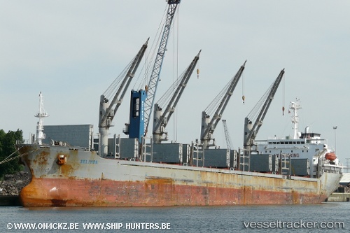
Selinda
Current StatusWhere is the vessel?
Selinda is currently in Near Melones, based on AIS data received less than 1h ago.
Latest AIS update:
Current position: 8.81655° N, 79.58435° W (Near Melones)
Average speed (last 7 days): Loading…
Average speed (last 30 days): Loading…
Vessel profile: Selinda is a Bulk Carrier with dimensions 30m x 179m.
This page combines live AIS, route history, probable destination signals, nearby traffic, and port activity for practical vessel monitoring.
The current position of vessel Selinda is 8.81655 lat / -79.58435 lng. Updated: 2026-04-20 10:31:41 UTCNearest reference points:
- Near Melones
- Near Panama
- Near El Chorrillo
Details:
Live Vessel Selinda Analytics (details, animations, etc.)
Recent AIS points (UTC):
2026-04-20 07:50:54 UTC · 8.81861, -79.58559 · SOG 0.1 kn · COG 107°2026-04-20 08:11:54 UTC · 8.81882, -79.58548 · SOG 0.1 kn · COG 117°
2026-04-20 09:37:48 UTC · 8.81706, -79.58520 · SOG 0.1 kn · COG 55°
2026-04-20 10:31:41 UTC · 8.81655, -79.58435 · SOG 0.1 kn · COG 12°