 vesseltracker.com
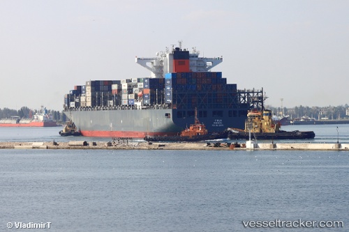
Tirua
Current StatusWhere is the vessel?
Tirua is currently in 265 nm S of Luque, based on AIS data received less than 1h ago.
Latest AIS update:
Current position: 21.03306° N, 58.93476° W (265 nm S of Luque)
Average speed (last 7 days): Loading…
Average speed (last 30 days): Loading…
Vessel profile: Tirua is a Container Ship with dimensions 46m x 300m.
This page combines live AIS, route history, probable destination signals, nearby traffic, and port activity for practical vessel monitoring.
The current position of vessel Tirua is 21.03306 lat / -58.93476 lng. Updated: 2026-03-29 14:23:36 UTCDetails:
Live Vessel Tirua Analytics (details, animations, etc.)
Recent AIS points (UTC):
2026-03-29 07:30:29 UTC · 22.19609, -60.62445 · SOG 17 kn · COG 127°2026-03-29 09:42:07 UTC · 21.81769, -60.09060 · SOG 17.2 kn · COG 126°
2026-03-29 12:09:42 UTC · 21.39091, -59.48509 · SOG 16.8 kn · COG 124°
2026-03-29 14:23:36 UTC · 21.03306, -58.93476 · SOG 16.6 kn · COG 126°