 vesseltracker.com
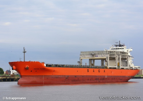
 SAGA FJORD
Current Status
Where is the vessel?
SAGA FJORD is currently in 40 nm E of Al Azaiba, based on AIS data received less than 1h ago.
Latest AIS update:
Current position: 23.55962° S, 59.25143° E (40 nm E of Al Azaiba)
Average speed (last 7 days): Loading…
Average speed (last 30 days): Loading…
Vessel profile: SAGA FJORD is a Cargo/Container Ship with dimensions m x m.
This page combines live AIS, route history, probable destination signals, nearby traffic, and port activity for practical vessel monitoring.
The current position of vessel SAGA FJORD is -23.55962 lat / 59.25143 lng. Updated: 2026-04-21 05:56:04 UTCNearest reference points:
- 61 nm NW of Al Azaiba
Currently sailing under the flag of Bahamas ![]()
Details:
Live Vessel SAGA FJORD Analytics (details, animations, etc.)
Recent AIS points (UTC):
2026-04-21 02:35:26 UTC · -23.89651, 58.74603 · SOG 10 kn · COG 55°2026-04-21 04:16:13 UTC · -23.72500, 59.00167 · SOG 10 kn · COG -1°
2026-04-21 04:30:37 UTC · -23.70272, 59.03995 · SOG 10.1 kn · COG 58°
2026-04-21 05:56:04 UTC · -23.55962, 59.25143 · SOG 9.9 kn · COG 55°