 vesseltracker.com
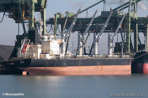
Vessel Thalis IMO: 9616747, MMSI: 538008283 Bulk Carrier
UTC, 41.19419, -8.68574, course: 232, speed: 0
UTC, 41.19419, -8.68580, course: 232, speed: 0
2026-02-14 00:03:37 UTC, 41.19413, -8.68572, course: 232, speed: 0
Live AIS position:
UTC. Near Leça da Palmeira),
updated 2026-02-14 00:03:37 UTC.
Find the position of the vessel Thalis on the map. The latter are known coordinates and path.
marine traffic ship tracker show on live map
The current position of vessel Thalis is 41.19413 lat / -8.68572 lng. Updated: 2026-02-14 00:03:37 UTCDetails:
Last coordinates of the vessel:
UTC, 41.19412, -8.68578, course: 232, speed: 0UTC, 41.19419, -8.68574, course: 232, speed: 0
UTC, 41.19419, -8.68580, course: 232, speed: 0
2026-02-14 00:03:37 UTC, 41.19413, -8.68572, course: 232, speed: 0