 vesseltracker.com
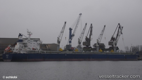
Marigoula
Current StatusWhere is the vessel?
Marigoula is currently in Near Port Said, based on AIS data received less than 1h ago.
Latest AIS update:
Current position: 31.42334° N, 32.27440° E (Near Port Said)
Average speed (last 7 days): Loading…
Average speed (last 30 days): Loading…
Vessel profile: Marigoula is a Bulk Carrier with dimensions 32m x 190m.
This page combines live AIS, route history, probable destination signals, nearby traffic, and port activity for practical vessel monitoring.
The current position of vessel Marigoula is 31.42334 lat / 32.27440 lng. Updated: 2026-04-22 19:38:12 UTCNearest reference points:
- Near Port Said
- 14 nm N of Port Said
- 15 nm N of Port Said
Details:
Live Vessel Marigoula Analytics (details, animations, etc.)
Recent AIS points (UTC):
2026-04-22 17:01:59 UTC · 31.42327, 32.27470 · SOG 0 kn · COG 10°2026-04-22 18:02:06 UTC · 31.42329, 32.27471 · SOG 0 kn · COG 10°
2026-04-22 19:23:05 UTC · 31.42330, 32.27445 · SOG 0.1 kn · COG 16°
2026-04-22 19:38:12 UTC · 31.42334, 32.27440 · SOG 0.1 kn · COG 18°