 vesseltracker.com
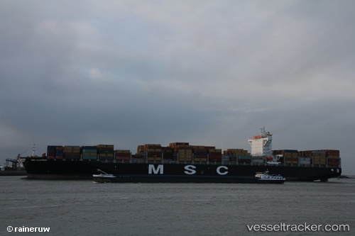
 EMERALD TOWER
Current Status
Where is the vessel?
EMERALD TOWER is currently in Near Wu-Sung, based on AIS data received less than 1h ago.
Latest AIS update:
Current position: 31.37528° N, 121.57994° E (Near Wu-Sung)
Average speed (last 7 days): Loading…
Average speed (last 30 days): Loading…
Vessel profile: EMERALD TOWER is a Container Ship with dimensions m x m.
This page combines live AIS, route history, probable destination signals, nearby traffic, and port activity for practical vessel monitoring.
The current position of vessel EMERALD TOWER is 31.37528 lat / 121.57994 lng. Updated: 2026-04-12 15:37:06 UTCNearest reference points:
- Near Wu-Sung
- Near Jinqiao
- Near Gonglu
Currently sailing under the flag of Liberia ![]()
Details:
Live Vessel EMERALD TOWER Analytics (details, animations, etc.)
Recent AIS points (UTC):
2026-04-12 10:10:02 UTC · 31.37522, 121.57994 · SOG 0 kn · COG 114°2026-04-12 11:43:00 UTC · 31.37520, 121.57991 · SOG 0 kn · COG 114°
2026-04-12 13:55:04 UTC · 31.37522, 121.57999 · SOG 0 kn · COG 114°
2026-04-12 15:37:06 UTC · 31.37528, 121.57994 · SOG 0 kn · COG 114°