 vesseltracker.com
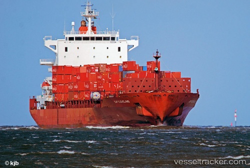
Merkur Fjord
Current StatusWhere is the vessel?
Merkur Fjord is currently in 34 nm NE of PENGERANG, based on AIS data received about 1d ago.
Latest AIS update:
Current position: 1.60736° N, 104.67210° E (34 nm NE of PENGERANG)
Average speed (last 7 days): Loading…
Average speed (last 30 days): Loading…
Vessel profile: Merkur Fjord is a Container Ship with dimensions 37m x 228m.
This page combines live AIS, route history, probable destination signals, nearby traffic, and port activity for practical vessel monitoring.
The current position of vessel Merkur Fjord is 1.60736 lat / 104.67210 lng. Updated: 2026-04-10 08:08:57 UTCNearest reference points:
- 34 nm NE of PENGERANG
- 38 nm E of PENGERANG
- 47 nm NE of PENGERANG
Details:
Live Vessel Merkur Fjord Analytics (details, animations, etc.)
Recent AIS points (UTC):
2026-04-10 01:33:17 UTC · 3.00679, 105.18053 · SOG 13 kn · COG 200°2026-04-10 04:14:57 UTC · 2.43493, 104.98989 · SOG 13.3 kn · COG 203°
2026-04-10 05:57:28 UTC · 2.06331, 104.88076 · SOG 13.7 kn · COG 197°
2026-04-10 08:08:57 UTC · 1.60736, 104.67210 · SOG 13.7 kn · COG 211°