 vesseltracker.com
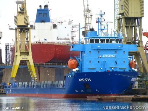
 Meri
Meri
Current Status
Where is the vessel?
Meri is currently in Near Serrano, based on AIS data received less than 1h ago.
Latest AIS update:
Current position: 40.32673° N, 18.52078° E (Near Serrano)
Average speed (last 7 days): Loading…
Average speed (last 30 days): Loading…
Vessel profile: Meri is a Heavy Load Carrier with dimensions 105m x 18m.
This page combines live AIS, route history, probable destination signals, nearby traffic, and port activity for practical vessel monitoring.
The current position of vessel Meri is 40.32673 lat / 18.52078 lng. Updated: 2026-04-17 12:26:00 UTCNearest reference points:
- Near Porto Di Brindisi
- 22 nm W of Fier
- 11 nm S of Leuca
Currently sailing under the flag of Finland ![]()
Meri built in 2012 year
Deadweight:
4359 tDetails:
Live Vessel Meri Analytics (details, animations, etc.)
Recent AIS points (UTC):
2026-04-17 05:35:02 UTC · 39.36088, 18.08634 · SOG 9.4 kn · COG 20°2026-04-17 08:25:12 UTC · 39.75905, 18.37485 · SOG 9.7 kn · COG 36°
2026-04-17 10:11:49 UTC · 40.01113, 18.57239 · SOG 8.8 kn · COG 20°
2026-04-17 12:26:00 UTC · 40.32673, 18.52078 · SOG 8.9 kn · COG 331°