 vesseltracker.com
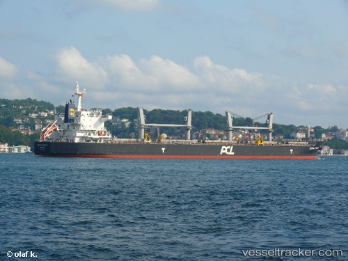
 ALKYONI
Current Status
Where is the vessel?
ALKYONI is currently in 12 nm NE of Espoir, based on AIS data received less than 1h ago.
Latest AIS update:
Current position: 5.16693° N, 4.21504° W (12 nm NE of Espoir)
Average speed (last 7 days): Loading…
Average speed (last 30 days): Loading…
Vessel profile: ALKYONI is a Bulk Carrier with dimensions 190m x 32m.
This page combines live AIS, route history, probable destination signals, nearby traffic, and port activity for practical vessel monitoring.
The current position of vessel ALKYONI is 5.16693 lat / -4.21504 lng. Updated: 2026-04-18 17:25:49 UTCNearest reference points:
- Near Vridi
- Near Abidjan
- Near Espoir
Currently sailing under the flag of Marshall Islands ![]()
ALKYONI built in 2012 year
Deadweight:
55830 tDetails:
Live Vessel ALKYONI Analytics (details, animations, etc.)
Recent AIS points (UTC):
2026-04-18 11:34:54 UTC · 5.16793, -4.21540 · SOG 0.1 kn · COG -1°2026-04-18 13:25:20 UTC · 5.16673, -4.21521 · SOG 0.3 kn · COG 264°
2026-04-18 15:22:20 UTC · 5.16634, -4.21536 · SOG 0.6 kn · COG 276°
2026-04-18 17:25:49 UTC · 5.16693, -4.21504 · SOG 0.6 kn · COG 261°