 vesseltracker.com
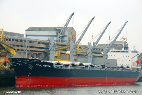
 MILA SAN
Current Status
Where is the vessel?
MILA SAN is currently in 37 nm N of VARADERO, based on AIS data received less than 1h ago.
Latest AIS update:
Current position: 23.75680° N, 81.27389° W (37 nm N of VARADERO)
Average speed (last 7 days): Loading…
Average speed (last 30 days): Loading…
Vessel profile: MILA SAN is a Bulk Carrier with dimensions m x m.
This page combines live AIS, route history, probable destination signals, nearby traffic, and port activity for practical vessel monitoring.
The current position of vessel MILA SAN is 23.75680 lat / -81.27389 lng. Updated: 2026-03-30 11:28:33 UTCNearest reference points:
- 28 nm NE of VARADERO
- Near Summerland Key
- Near Key West
Currently sailing under the flag of Liberia ![]()
Details:
Live Vessel MILA SAN Analytics (details, animations, etc.)
Recent AIS points (UTC):
2026-03-30 05:55:37 UTC · 24.20575, -80.39271 · SOG 10.8 kn · COG -1°2026-03-30 07:23:43 UTC · 24.07886, -80.63968 · SOG 10.3 kn · COG 233°
2026-03-30 09:25:02 UTC · 23.90192, -80.95668 · SOG 10 kn · COG 232°
2026-03-30 11:28:33 UTC · 23.75680, -81.27389 · SOG 9 kn · COG 240°