 vesseltracker.com
 MAPLE MARINA
Current Status
Where is the vessel?
MAPLE MARINA is currently in 40 nm SW of Kinfraa-SEZ/Thiruvananthapuram, based on AIS data received about 1h ago.
Latest AIS update:
Current position: 7.94260° N, 76.52298° E (40 nm SW of Kinfraa-SEZ/Thiruvananthapuram)
Average speed (last 7 days): Loading…
Average speed (last 30 days): Loading…
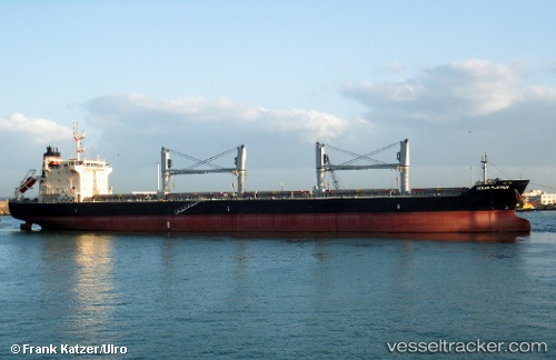
Vessel profile: MAPLE MARINA is a Bulk Carrier with dimensions 186m x 28m.
This page combines live AIS, route history, probable destination signals, nearby traffic, and port activity for practical vessel monitoring.
The current position of vessel MAPLE MARINA is 7.94260 lat / 76.52298 lng. Updated: 2026-04-08 23:40:07 UTCNearest reference points:
- 41 nm S of Nagercoil
- 91 nm S of Nagercoil
- 98 nm S of Nagercoil
Currently sailing under the flag of Korea (Republic of) ![]()
MAPLE MARINA built in 2012 year
Deadweight:
37194 tDetails:
Live Vessel MAPLE MARINA Analytics (details, animations, etc.)
Recent AIS points (UTC):
2026-04-08 15:25:05 UTC · 9.19569, 75.48021 · SOG 12.6 kn · COG 162°2026-04-08 17:34:36 UTC · 8.76262, 75.59702 · SOG 12.1 kn · COG 164°
2026-04-08 20:06:27 UTC · 8.35895, 75.88546 · SOG 12.3 kn · COG 123°
2026-04-08 23:40:07 UTC · 7.94260, 76.52298 · SOG 12.9 kn · COG 121°