 vesseltracker.com
 AMIRANTE
Current Status
Where is the vessel?
AMIRANTE is currently in 37 nm S of Chamela, based on AIS data received about 1h ago.
Latest AIS update:
Current position: 18.96144° N, 105.31254° W (37 nm S of Chamela)
Average speed (last 7 days): Loading…
Average speed (last 30 days): Loading…
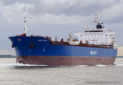
Vessel profile: AMIRANTE is a Oil/Chemical Tanker with dimensions m x m.
This page combines live AIS, route history, probable destination signals, nearby traffic, and port activity for practical vessel monitoring.
The current position of vessel AMIRANTE is 18.96144 lat / -105.31254 lng. Updated: 2026-04-02 09:36:28 UTCNearest reference points:
- Near NUEVO VALLARTA
- 46 nm S of El Ranchito
- 35 nm S of Nayarit
Currently sailing under the flag of Marshall Islands ![]()
Details:
Live Vessel AMIRANTE Analytics (details, animations, etc.)
Recent AIS points (UTC):
2026-04-02 07:21:34 UTC · 19.27752, -105.78341 · SOG 14.7 kn · COG 125°2026-04-02 07:21:34 UTC · 19.27752, -105.78341 · SOG 14.7 kn · COG 125°
2026-04-02 09:36:28 UTC · 18.96144, -105.31254 · SOG 14.2 kn · COG 126°
2026-04-02 09:36:28 UTC · 18.96144, -105.31254 · SOG 14.2 kn · COG 126°