 vesseltracker.com
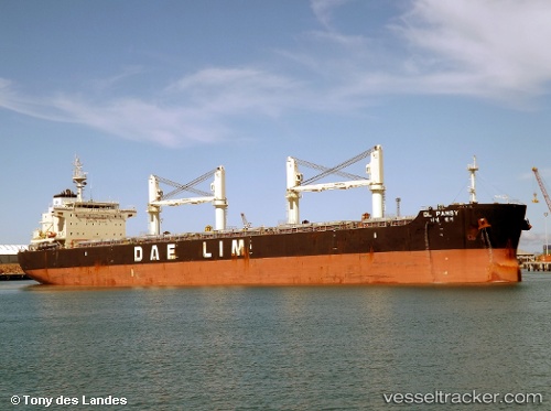
 ANDROMEDA
Current Status
Where is the vessel?
ANDROMEDA is currently in 17 nm E of Caioba, based on AIS data received less than 1h ago.
Latest AIS update:
Current position: 25.78160° S, 48.22755° W (17 nm E of Caioba)
Average speed (last 7 days): Loading…
Average speed (last 30 days): Loading…
Vessel profile: ANDROMEDA is a Cargo with dimensions m x m.
This page combines live AIS, route history, probable destination signals, nearby traffic, and port activity for practical vessel monitoring.
The current position of vessel ANDROMEDA is -25.78160 lat / -48.22755 lng. Updated: 2026-04-08 07:36:32 UTCNearest reference points:
- 24 nm E of Caioba
- 32 nm E of Caioba
- 10 nm NE of CAMBORIU
Currently sailing under the flag of Marshall Islands ![]()
Details:
Live Vessel ANDROMEDA Analytics (details, animations, etc.)
Recent AIS points (UTC):
2026-04-08 02:12:30 UTC · -25.78113, -48.22931 · SOG 0.8 kn · COG 37°2026-04-08 03:45:33 UTC · -25.78088, -48.22952 · SOG 0.7 kn · COG 35°
2026-04-08 06:06:33 UTC · -25.78141, -48.22786 · SOG 0.4 kn · COG 5°
2026-04-08 07:36:32 UTC · -25.78160, -48.22755 · SOG 0.1 kn · COG 359°