 vesseltracker.com
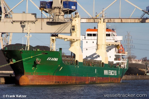
 TOPTERIX
Current Status
Where is the vessel?
TOPTERIX is currently in Near Moelfre, based on AIS data received about 1h ago.
Latest AIS update:
Current position: 53.37959° N, 4.17246° W (Near Moelfre)
Average speed (last 7 days): Loading…
Average speed (last 30 days): Loading…
Vessel profile: TOPTERIX is a General Cargo with dimensions m x m.
This page combines live AIS, route history, probable destination signals, nearby traffic, and port activity for practical vessel monitoring.
The current position of vessel TOPTERIX is 53.37959 lat / -4.17246 lng. Updated: 2026-04-04 17:29:14 UTCNearest reference points:
- Near Conwy (Conway)
- Near Rhôs-on-Sea
- Near Holyhead
Currently sailing under the flag of Sierra Leone ![]()
Details:
Live Vessel TOPTERIX Analytics (details, animations, etc.)
Recent AIS points (UTC):
2026-04-04 11:43:35 UTC · 53.53006, -3.16561 · SOG 6.7 kn · COG 255°2026-04-04 14:13:55 UTC · 53.55107, -3.73477 · SOG 8.7 kn · COG 240°
2026-04-04 16:10:55 UTC · 53.44386, -4.12092 · SOG 6.7 kn · COG 210°
2026-04-04 17:29:14 UTC · 53.37959, -4.17246 · SOG 0.6 kn · COG 187°