 vesseltracker.com
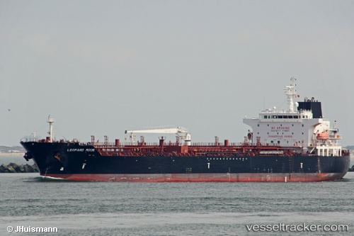
 VALLE LUNA
Current Status
Where is the vessel?
VALLE LUNA is currently in Near Eleusina, based on AIS data received less than 1h ago.
Latest AIS update:
Current position: 38.01127° N, 23.54459° E (Near Eleusina)
Average speed (last 7 days): Loading…
Average speed (last 30 days): Loading…
Vessel profile: VALLE LUNA is a Chemical/Oil Products Tanker with dimensions 183m x 32m.
This page combines live AIS, route history, probable destination signals, nearby traffic, and port activity for practical vessel monitoring.
The current position of vessel VALLE LUNA is 38.01127 lat / 23.54459 lng. Updated: 2026-04-20 03:36:37 UTCNearest reference points:
- Near PERAMA
- Near Keratsínion
- Near Drapetzona
Currently sailing under the flag of Italy ![]()
VALLE LUNA built in 2013 year
Deadweight:
49999 tDetails:
Live Vessel VALLE LUNA Analytics (details, animations, etc.)
Recent AIS points (UTC):
2026-04-20 00:03:50 UTC · 38.01081, 23.54558 · SOG 0.1 kn · COG -1°2026-04-20 01:21:38 UTC · 38.01110, 23.54474 · SOG 0.1 kn · COG 37°
2026-04-20 01:54:37 UTC · 38.01111, 23.54470 · SOG 0 kn · COG 43°
2026-04-20 03:36:37 UTC · 38.01127, 23.54459 · SOG 0 kn · COG 47°