 vesseltracker.com
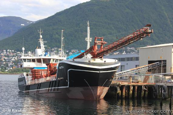
Vessel Martin H IMO: 9639115, MMSI: 257996000 Multi Purpose Carrier
UTC, 67.27298, 14.34422, course: 68, speed: 0
UTC, 67.27318, 14.34383, course: 52, speed: 0
2026-03-24 13:38:05 UTC, 67.27320, 14.34387, course: 52, speed: 0
Live Vessel Martin H Analytics (details, animations, etc.)
Live AIS position: UTC. Near Bodø), updated 2026-03-24 13:38:05 UTC.Find the position of the vessel Martin H on the map. The latter are known coordinates and path.
marine traffic ship tracker show on live map
The current position of vessel Martin H is 67.27320 lat / 14.34387 lng. Updated: 2026-03-24 13:38:05 UTCCurrently sailing under the flag of Norway
Details:
Last coordinates of the vessel:
UTC, 67.27297, 14.34413, course: 68, speed: 0UTC, 67.27298, 14.34422, course: 68, speed: 0
UTC, 67.27318, 14.34383, course: 52, speed: 0
2026-03-24 13:38:05 UTC, 67.27320, 14.34387, course: 52, speed: 0