 vesseltracker.com
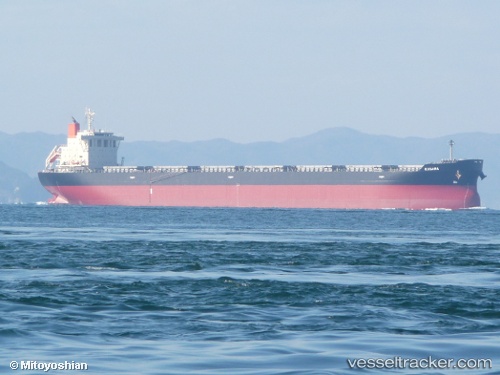
 KOULITSA 2
Current Status
Where is the vessel?
KOULITSA 2 is currently in 161 nm E of Tan Cang Qui Nhon, based on AIS data received about 1h ago.
Latest AIS update:
Current position: 14.42334° N, 112.51835° E (161 nm E of Tan Cang Qui Nhon)
Average speed (last 7 days): Loading…
Average speed (last 30 days): Loading…
Vessel profile: KOULITSA 2 is a Bulk Carrier with dimensions 221m x 221m.
This page combines live AIS, route history, probable destination signals, nearby traffic, and port activity for practical vessel monitoring.
The current position of vessel KOULITSA 2 is 14.42334 lat / 112.51835 lng. Updated: 2026-04-07 13:32:31 UTCNearest reference points:
- 215 nm NE of Tan Cang Qui Nhon
- 222 nm E of Tan Cang Qui Nhon
- 232 nm E of Tan Cang Qui Nhon
Currently sailing under the flag of Cyprus ![]()
KOULITSA 2 built in 2013 year
Deadweight:
78129 tDetails:
Live Vessel KOULITSA 2 Analytics (details, animations, etc.)
Recent AIS points (UTC):
2026-04-07 09:56:42 UTC · 13.81648, 112.17060 · SOG 11.7 kn · COG 28°2026-04-07 12:24:21 UTC · 14.23688, 112.41037 · SOG 11.2 kn · COG 24°
2026-04-07 12:24:21 UTC · 14.23688, 112.41037 · SOG 11.2 kn · COG 24°
2026-04-07 13:32:31 UTC · 14.42334, 112.51835 · SOG 11.5 kn · COG 28°