 vesseltracker.com
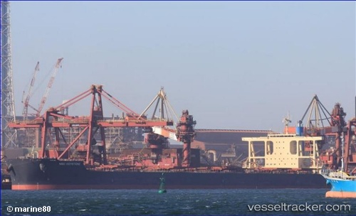
Nsu Keystone
Current StatusWhere is the vessel?
Nsu Keystone is currently in 177 nm S of Conflict Group, based on AIS data received about 1h ago.
Latest AIS update:
Current position: 13.72302° S, 151.77016° E (177 nm S of Conflict Group)
Average speed (last 7 days): Loading…
Average speed (last 30 days): Loading…
Vessel profile: Nsu Keystone is a Bulk Carrier with dimensions 50m x 300m.
This page combines live AIS, route history, probable destination signals, nearby traffic, and port activity for practical vessel monitoring.
The current position of vessel Nsu Keystone is -13.72302 lat / 151.77016 lng. Updated: 2026-04-18 10:09:55 UTCNearest reference points:
- 209 nm N of Coral Sea
Details:
Live Vessel Nsu Keystone Analytics (details, animations, etc.)
Recent AIS points (UTC):
2026-04-18 04:14:55 UTC · -14.69570, 151.62132 · SOG 9.9 kn · COG 10°2026-04-18 05:20:33 UTC · -14.51660, 151.64488 · SOG 9.8 kn · COG 11°
2026-04-18 08:19:16 UTC · -14.02708, 151.71858 · SOG 9.8 kn · COG 14°
2026-04-18 10:09:55 UTC · -13.72302, 151.77016 · SOG 10.2 kn · COG 8°