 vesseltracker.com
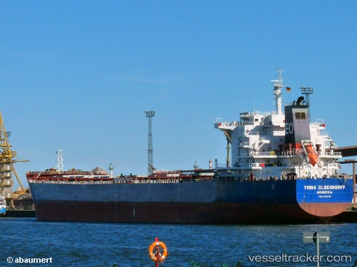
 OCEAN PEARL
Current Status
Where is the vessel?
OCEAN PEARL is currently in Near Basrah Oil Terminal, based on AIS data received about 1h ago.
Latest AIS update:
Current position: 29.64915° N, 48.68398° E (Near Basrah Oil Terminal)
Average speed (last 7 days): Loading…
Average speed (last 30 days): Loading…
Vessel profile: OCEAN PEARL is a Bulk Carrier with dimensions m x m.
This page combines live AIS, route history, probable destination signals, nearby traffic, and port activity for practical vessel monitoring.
The current position of vessel OCEAN PEARL is 29.64915 lat / 48.68398 lng. Updated: 2026-04-22 17:29:10 UTCNearest reference points:
- 11 nm SW of Basrah Oil Terminal
- 15 nm S of Imam Khomeini Pt/ Mahshahr City
- Near Ra's al Ard
Currently sailing under the flag of Liberia ![]()
Details:
Live Vessel OCEAN PEARL Analytics (details, animations, etc.)
Recent AIS points (UTC):
2026-04-22 13:41:10 UTC · 29.64918, 48.68394 · SOG 0 kn · COG 326°2026-04-22 16:10:59 UTC · 29.64917, 48.68171 · SOG 0 kn · COG 32°
2026-04-22 17:01:21 UTC · 29.64952, 48.68113 · SOG 0.1 kn · COG 47°
2026-04-22 17:29:10 UTC · 29.64915, 48.68398 · SOG 0 kn · COG 325°