 vesseltracker.com
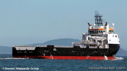
Larus
Current StatusWhere is the vessel?
Larus is currently in 62 nm N of Cidade de Angra dos Reis FPSO, based on AIS data received about 1d ago.
Latest AIS update:
Current position: 24.55402° S, 42.47303° W (62 nm N of Cidade de Angra dos Reis FPSO)
Average speed (last 7 days): Loading…
Average speed (last 30 days): Loading…
Vessel profile: Larus is a Offshore Tug Supply Ship with dimensions 19m x 85m.
This page combines live AIS, route history, probable destination signals, nearby traffic, and port activity for practical vessel monitoring.
The current position of vessel Larus is -24.55402 lat / -42.47303 lng. Updated: 2026-04-10 07:20:38 UTCNearest reference points:
- 69 nm NE of Cidade de Angra dos Reis FPSO
- 49 nm S of SEPETIBA
- 27 nm SW of Santos Dumont Apt/Rio de Janeiro
Details:
Live Vessel Larus Analytics (details, animations, etc.)
Recent AIS points (UTC):
2026-04-10 02:02:37 UTC · -24.55333, -42.47333 · SOG 0 kn · COG -1°2026-04-10 03:23:56 UTC · -24.55463, -42.47220 · SOG 0.7 kn · COG 193°
2026-04-10 06:00:06 UTC · -24.55377, -42.47598 · SOG 1.5 kn · COG 184°
2026-04-10 07:20:38 UTC · -24.55402, -42.47303 · SOG 1 kn · COG 176°