 vesseltracker.com
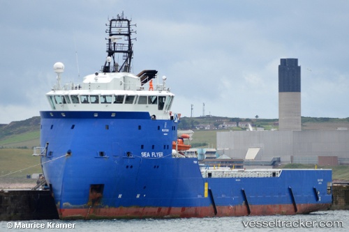
 FLYER TIDE
Current Status
Where is the vessel?
FLYER TIDE is currently in 25 nm NW of Volve, based on AIS data received about 1h ago.
Latest AIS update:
Current position: 58.67015° N, 1.28230° E (25 nm NW of Volve)
Average speed (last 7 days): Loading…
Average speed (last 30 days): Loading…
Vessel profile: FLYER TIDE is a Offshore Supply Ship with dimensions m x m.
This page combines live AIS, route history, probable destination signals, nearby traffic, and port activity for practical vessel monitoring.
The current position of vessel FLYER TIDE is 58.67015 lat / 1.28230 lng. Updated: 2026-04-22 10:39:46 UTCNearest reference points:
- Near Alba Oil Field
- 10 nm N of Leadon
- 19 nm W of Curlew
Currently sailing under the flag of United Kingdom ![]()
Details:
Live Vessel FLYER TIDE Analytics (details, animations, etc.)
Recent AIS points (UTC):
2026-04-22 07:35:55 UTC · 58.56085, 1.06370 · SOG 8.2 kn · COG 46°2026-04-22 08:18:55 UTC · 58.62833, 1.19667 · SOG 8 kn · COG -1°
2026-04-22 09:29:05 UTC · 58.67061, 1.28386 · SOG 0.2 kn · COG 348°
2026-04-22 10:39:46 UTC · 58.67015, 1.28230 · SOG 0.4 kn · COG 7°