 vesseltracker.com
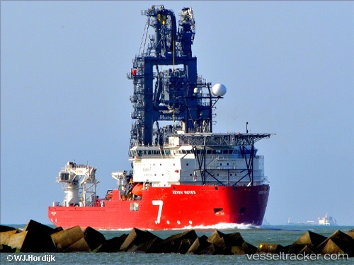
 SEVEN WAVES
Current Status
Where is the vessel?
SEVEN WAVES is currently in 10 nm S of Capixaba FPSO, based on AIS data received less than 1h ago.
Latest AIS update:
Current position: 21.40307° S, 39.91838° W (10 nm S of Capixaba FPSO)
Average speed (last 7 days): Loading…
Average speed (last 30 days): Loading…
Vessel profile: SEVEN WAVES is a Pipe Layer with dimensions m x m.
This page combines live AIS, route history, probable destination signals, nearby traffic, and port activity for practical vessel monitoring.
The current position of vessel SEVEN WAVES is -21.40307 lat / -39.91838 lng. Updated: 2026-04-18 05:51:02 UTCNearest reference points:
- Near Capixaba FPSO
- Near Tubarão Pt./Vitória
- Near JARDIM CAMBURI
Currently sailing under the flag of United Kingdom ![]()
Details:
Live Vessel SEVEN WAVES Analytics (details, animations, etc.)
Recent AIS points (UTC):
2026-04-18 00:11:54 UTC · -21.95333, -39.73833 · SOG 0 kn · COG -1°2026-04-18 02:06:12 UTC · -21.95500, -39.73333 · SOG 6 kn · COG -1°
2026-04-18 03:21:22 UTC · -21.75667, -39.81833 · SOG 11 kn · COG -1°
2026-04-18 05:51:02 UTC · -21.40307, -39.91838 · SOG 0.1 kn · COG 1°