 vesseltracker.com
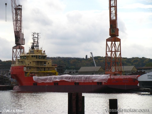
 ELAND
ELAND
Current Status
Where is the vessel?
ELAND is currently in Near Fluminense FPSO, based on AIS data received about 2h ago.
Latest AIS update:
Current position: 22.56098° S, 40.52539° W (Near Fluminense FPSO)
Average speed (last 7 days): Loading…
Average speed (last 30 days): Loading…
Vessel profile: ELAND is a Offshore Supply Ship with dimensions m x m.
This page combines live AIS, route history, probable destination signals, nearby traffic, and port activity for practical vessel monitoring.
The current position of vessel ELAND is -22.56098 lat / -40.52539 lng. Updated: 2026-03-30 23:33:32 UTCNearest reference points:
- Near Fluminense FPSO
- 24 nm SE of Carapebus
- Near PORTO DO ACU
Details:
Live Vessel ELAND Analytics (details, animations, etc.)
Recent AIS points (UTC):
2026-03-30 18:54:33 UTC · -22.56195, -40.52496 · SOG 0.1 kn · COG 90°2026-03-30 20:45:31 UTC · -22.56197, -40.52490 · SOG 0.1 kn · COG 91°
2026-03-30 23:33:32 UTC · -22.56098, -40.52539 · SOG 0 kn · COG 91°
2026-03-30 23:33:32 UTC · -22.56098, -40.52539 · SOG 0 kn · COG 91°