 vesseltracker.com
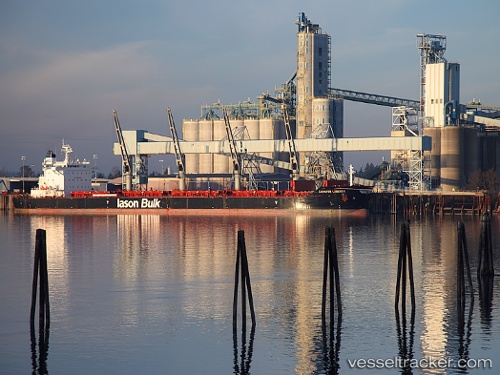
Caravos Liberty
Current StatusWhere is the vessel?
Caravos Liberty is currently in 24 nm NW of Cox's Bazar, based on AIS data received about 1h ago.
Latest AIS update:
Current position: 21.79039° N, 91.79980° E (24 nm NW of Cox's Bazar)
Average speed (last 7 days): Loading…
Average speed (last 30 days): Loading…
Vessel profile: Caravos Liberty is a Bulk Carrier with dimensions 32m x 200m.
This page combines live AIS, route history, probable destination signals, nearby traffic, and port activity for practical vessel monitoring.
The current position of vessel Caravos Liberty is 21.79039 lat / 91.79980 lng. Updated: 2026-04-12 15:20:22 UTCNearest reference points:
- 23 nm NW of Cox's Bazar
- Near Chittagong
- 12 nm NW of Chattogram
Details:
Live Vessel Caravos Liberty Analytics (details, animations, etc.)
Recent AIS points (UTC):
2026-04-12 09:48:45 UTC · 21.78793, 91.80115 · SOG 0.2 kn · COG -1°2026-04-12 11:40:01 UTC · 21.79032, 91.79982 · SOG 0 kn · COG -1°
2026-04-12 13:46:16 UTC · 21.79044, 91.79977 · SOG 0 kn · COG -1°
2026-04-12 15:20:22 UTC · 21.79039, 91.79980 · SOG 0 kn · COG 192°