 vesseltracker.com
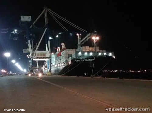
 HMM DHAKA
Current Status
Where is the vessel?
HMM DHAKA is currently in 23 nm SW of Parit Raja, based on AIS data received less than 1h ago.
Latest AIS update:
Current position: 1.58732° N, 102.85739° E (23 nm SW of Parit Raja)
Average speed (last 7 days): Loading…
Average speed (last 30 days): Loading…
Vessel profile: HMM DHAKA is a Container Ship with dimensions 30m x 185m.
This page combines live AIS, route history, probable destination signals, nearby traffic, and port activity for practical vessel monitoring.
The current position of vessel HMM DHAKA is 1.58732 lat / 102.85739 lng. Updated: 2026-04-17 05:54:43 UTCNearest reference points:
- 29 nm W of Parit Raja
- 17 nm NE of Perawang
- 19 nm W of Tanjong Bin
Currently sailing under the flag of Korea (Republic of) ![]()
HMM DHAKA built in 2014 year
Deadweight:
25331 tDetails:
Live Vessel HMM DHAKA Analytics (details, animations, etc.)
Recent AIS points (UTC):
2026-04-17 00:00:09 UTC · 1.96638, 102.13972 · SOG 16.4 kn · COG 135°2026-04-17 02:31:29 UTC · 1.73202, 102.57179 · SOG 6.3 kn · COG 118°
2026-04-17 03:31:28 UTC · 1.68866, 102.66615 · SOG 6 kn · COG 118°
2026-04-17 05:54:43 UTC · 1.58732, 102.85739 · SOG 4.8 kn · COG 115°