 vesseltracker.com
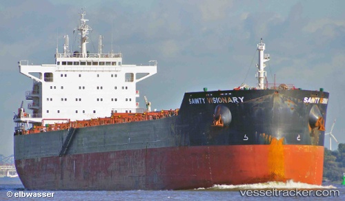
 Anglo Barinthus
Current Status
Where is the vessel?
Anglo Barinthus is currently in 48 nm W of Taean-gun, based on AIS data received about 1h ago.
Latest AIS update:
Current position: 36.66333° N, 125.27833° E (48 nm W of Taean-gun)
Average speed (last 7 days): Loading…
Average speed (last 30 days): Loading…
Vessel profile: Anglo Barinthus is a Bulk Carrier with dimensions 229m x 229m.
This page combines live AIS, route history, probable destination signals, nearby traffic, and port activity for practical vessel monitoring.
The current position of vessel Anglo Barinthus is 36.66333 lat / 125.27833 lng. Updated: 2026-04-22 01:50:16 UTCNearest reference points:
- 54 nm W of Taean-gun
- 49 nm SW of Yeonpyeongdo
- 22 nm W of Biin
Currently sailing under the flag of United Kingdom ![]()
Anglo Barinthus built in 2013 year
Deadweight:
82000 tDetails:
Live Vessel Anglo Barinthus Analytics (details, animations, etc.)
Recent AIS points (UTC):
2026-04-21 21:08:17 UTC · 36.66667, 125.28167 · SOG 0 kn · COG -1°2026-04-21 23:47:17 UTC · 36.66667, 125.27833 · SOG 0 kn · COG -1°
2026-04-22 01:14:19 UTC · 36.66500, 125.27667 · SOG 0 kn · COG -1°
2026-04-22 01:50:16 UTC · 36.66333, 125.27833 · SOG 0 kn · COG -1°