 vesseltracker.com
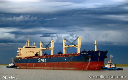
Clipper Kalavryta
Current StatusWhere is the vessel?
Clipper Kalavryta is currently in 47 nm NW of Crevedia, based on AIS data received about 2h ago.
Latest AIS update:
Current position: 45.29500° N, 26.44667° W (47 nm NW of Crevedia)
Average speed (last 7 days): Loading…
Average speed (last 30 days): Loading…
Vessel profile: Clipper Kalavryta is a Bulk Carrier with dimensions 32m x 199m.
This page combines live AIS, route history, probable destination signals, nearby traffic, and port activity for practical vessel monitoring.
The current position of vessel Clipper Kalavryta is 45.29500 lat / -26.44667 lng. Updated: 2026-03-26 06:05:04 UTCDetails:
Live Vessel Clipper Kalavryta Analytics (details, animations, etc.)
Recent AIS points (UTC):
2026-03-25 23:56:04 UTC · 44.81500, -27.89500 · SOG 10 kn · COG -1°2026-03-26 02:05:03 UTC · 44.98333, -27.39667 · SOG 11 kn · COG -1°
2026-03-26 03:32:02 UTC · 45.09833, -27.04333 · SOG 11 kn · COG -1°
2026-03-26 06:05:04 UTC · 45.29500, -26.44667 · SOG 10 kn · COG -1°