 vesseltracker.com
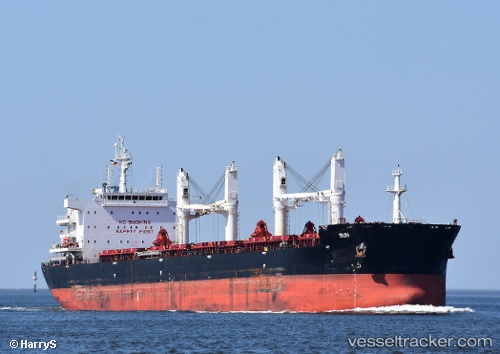
 AL WATHBA
Current Status
Where is the vessel?
AL WATHBA is currently in 202 nm SE of Benedito Novo, based on AIS data received less than 1h ago.
Latest AIS update:
Current position: 32.34674° S, 46.87599° W (202 nm SE of Benedito Novo)
Average speed (last 7 days): Loading…
Average speed (last 30 days): Loading…
Vessel profile: AL WATHBA is a Cargo with dimensions m x m.
This page combines live AIS, route history, probable destination signals, nearby traffic, and port activity for practical vessel monitoring.
The current position of vessel AL WATHBA is -32.34674 lat / -46.87599 lng. Updated: 2026-04-07 11:22:10 UTCCurrently sailing under the flag of Marshall Islands ![]()
Details:
Live Vessel AL WATHBA Analytics (details, animations, etc.)
Recent AIS points (UTC):
2026-04-07 05:56:09 UTC · -31.88536, -45.68316 · SOG 12.1 kn · COG 245°2026-04-07 07:43:00 UTC · -32.03467, -46.06644 · SOG 12.3 kn · COG 245°
2026-04-07 10:12:01 UTC · -32.25327, -46.61787 · SOG 12.5 kn · COG 246°
2026-04-07 11:22:10 UTC · -32.34674, -46.87599 · SOG 12.2 kn · COG 248°