 vesseltracker.com
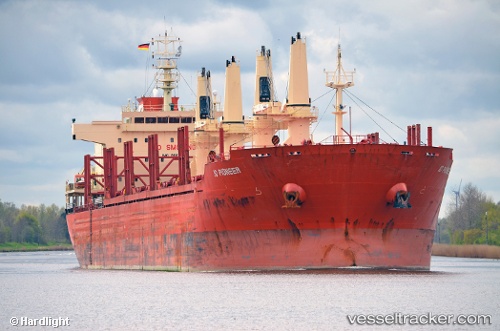
 WEST HARMONY
Current Status
Where is the vessel?
WEST HARMONY is currently in 12 nm SE of Lucaya, based on AIS data received about 2h ago.
Latest AIS update:
Current position: 26.33084° N, 78.54723° W (12 nm SE of Lucaya)
Average speed (last 7 days): Loading…
Average speed (last 30 days): Loading…
Vessel profile: WEST HARMONY is a Bulk Carrier with dimensions m x m.
This page combines live AIS, route history, probable destination signals, nearby traffic, and port activity for practical vessel monitoring.
The current position of vessel WEST HARMONY is 26.33084 lat / -78.54723 lng. Updated: 2026-04-05 07:21:37 UTCNearest reference points:
- 44 nm S of Freeport
- 44 nm E of Surfside
- Near Green Turtle Cay
Currently sailing under the flag of Liberia ![]()
Details:
Live Vessel WEST HARMONY Analytics (details, animations, etc.)
Recent AIS points (UTC):
2026-04-05 01:34:20 UTC · 25.82436, -77.33794 · SOG 12.6 kn · COG 300°2026-04-05 03:30:31 UTC · 26.02200, -77.72893 · SOG 12.5 kn · COG 302°
2026-04-05 04:02:50 UTC · 26.08895, -77.83092 · SOG 12.6 kn · COG 300°
2026-04-05 07:21:37 UTC · 26.33084, -78.54723 · SOG 11.7 kn · COG 271°