 vesseltracker.com
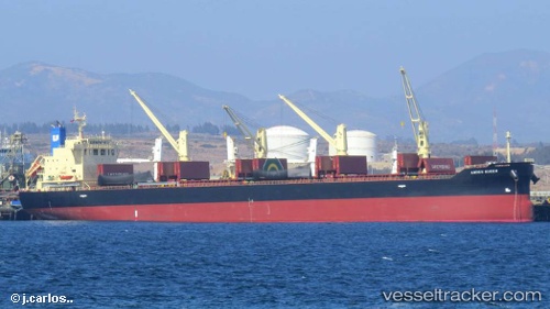
 OBE QUEEN
Current Status
Where is the vessel?
OBE QUEEN is currently in Near Changi, based on AIS data received about 1h ago.
Latest AIS update:
Current position: 1.29150° N, 103.99792° E (Near Changi)
Average speed (last 7 days): Loading…
Average speed (last 30 days): Loading…
Vessel profile: OBE QUEEN is a Bulk Carrier with dimensions 32m x 183m.
This page combines live AIS, route history, probable destination signals, nearby traffic, and port activity for practical vessel monitoring.
The current position of vessel OBE QUEEN is 1.29150 lat / 103.99792 lng. Updated: 2026-04-01 13:50:03 UTCNearest reference points:
- Near Changi
- Near TANAH MERAH
- Near Tampines
Currently sailing under the flag of Barbados ![]()
OBE QUEEN built in 2013 year
Deadweight:
52333 tDetails:
Live Vessel OBE QUEEN Analytics (details, animations, etc.)
Recent AIS points (UTC):
2026-04-01 08:12:34 UTC · 1.29208, 104.00091 · SOG 0.2 kn · COG 221°2026-04-01 09:32:33 UTC · 1.29268, 103.99985 · SOG 0.1 kn · COG 169°
2026-04-01 11:42:33 UTC · 1.29114, 103.99782 · SOG 0.1 kn · COG 80°
2026-04-01 13:50:03 UTC · 1.29150, 103.99792 · SOG 0.1 kn · COG 70°