 vesseltracker.com
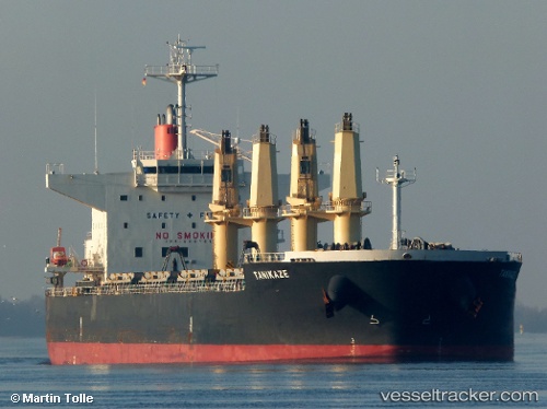
 Tanikaze
Current Status
Where is the vessel?
Tanikaze is currently in Near Santan Terminal, based on AIS data received about 1h ago.
Latest AIS update:
Current position: 0.23772° S, 117.56249° E (Near Santan Terminal)
Average speed (last 7 days): Loading…
Average speed (last 30 days): Loading…
Vessel profile: Tanikaze is a Bulk Carrier with dimensions 190m x 32m.
This page combines live AIS, route history, probable destination signals, nearby traffic, and port activity for practical vessel monitoring.
The current position of vessel Tanikaze is -0.23772 lat / 117.56249 lng. Updated: 2026-04-21 12:00:54 UTCNearest reference points:
- Near Santan Terminal
- 16 nm SE of Santan Terminal
- 22 nm NE of Handil
Currently sailing under the flag of Panama ![]()
Tanikaze built in 2013 year
Deadweight:
56064 tDetails:
Live Vessel Tanikaze Analytics (details, animations, etc.)
Recent AIS points (UTC):
2026-04-21 06:54:52 UTC · -0.23699, 117.56204 · SOG 0.2 kn · COG 71°2026-04-21 08:06:52 UTC · -0.23798, 117.56306 · SOG 0.1 kn · COG 18°
2026-04-21 10:06:54 UTC · -0.23771, 117.56255 · SOG 0.1 kn · COG 44°
2026-04-21 12:00:54 UTC · -0.23772, 117.56249 · SOG 0.1 kn · COG 45°