 vesseltracker.com
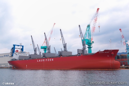
 KAMBOS
Current Status
Where is the vessel?
KAMBOS is currently in 17 nm E of Punta Mala, based on AIS data received about 1h ago.
Latest AIS update:
Current position: 7.48035° N, 79.72131° W (17 nm E of Punta Mala)
Average speed (last 7 days): Loading…
Average speed (last 30 days): Loading…
Vessel profile: KAMBOS is a Bulk Carrier with dimensions m x m.
This page combines live AIS, route history, probable destination signals, nearby traffic, and port activity for practical vessel monitoring.
The current position of vessel KAMBOS is 7.48035 lat / -79.72131 lng. Updated: 2026-04-21 23:18:24 UTCNearest reference points:
- 30 nm E of El Cirial (Isla Iguana)
- Near Saboga
- Near Melones
Currently sailing under the flag of Marshall Islands ![]()
Details:
Live Vessel KAMBOS Analytics (details, animations, etc.)
Recent AIS points (UTC):
2026-04-21 20:09:17 UTC · 8.03850, -79.46342 · SOG 11.9 kn · COG 178°2026-04-21 21:50:26 UTC · 7.71068, -79.49940 · SOG 12.8 kn · COG 220°
2026-04-21 22:41:03 UTC · 7.57899, -79.62327 · SOG 13.3 kn · COG 222°
2026-04-21 23:18:24 UTC · 7.48035, -79.72131 · SOG 13.4 kn · COG 224°