 vesseltracker.com
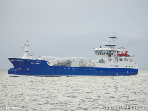
Grip Pacific
Current StatusWhere is the vessel?
Grip Pacific is currently in Near Magallanes, based on AIS data received about 2h ago.
Latest AIS update:
Current position: 53.17267° S, 70.90242° W (Near Magallanes)
Average speed (last 7 days): Loading…
Average speed (last 30 days): Loading…
Vessel profile: Grip Pacific is a Fish Carrier with dimensions 14m x 59m.
This page combines live AIS, route history, probable destination signals, nearby traffic, and port activity for practical vessel monitoring.
The current position of vessel Grip Pacific is -53.17267 lat / -70.90242 lng. Updated: 2026-04-18 03:55:41 UTCNearest reference points:
- 46 nm SW of Timaukel
Details:
Live Vessel Grip Pacific Analytics (details, animations, etc.)
Recent AIS points (UTC):
2026-04-17 21:58:08 UTC · -53.17002, -70.90609 · SOG 0 kn · COG 160°2026-04-18 00:06:07 UTC · -53.17001, -70.90608 · SOG 0 kn · COG 160°
2026-04-18 02:26:47 UTC · -53.17002, -70.90609 · SOG 0 kn · COG 160°
2026-04-18 03:55:41 UTC · -53.17267, -70.90242 · SOG 5.1 kn · COG 111°