 vesseltracker.com
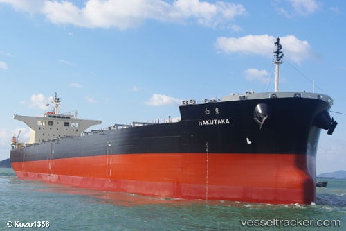
 Hakutaka
Current Status
Where is the vessel?
Hakutaka is currently in Near TSAWWASSEN, based on AIS data received less than 1h ago.
Latest AIS update:
Current position: 49.01506° N, 123.15524° W (Near TSAWWASSEN)
Average speed (last 7 days): Loading…
Average speed (last 30 days): Loading…
Vessel profile: Hakutaka is a Bulk Carrier with dimensions 235m x 235m.
This page combines live AIS, route history, probable destination signals, nearby traffic, and port activity for practical vessel monitoring.
The current position of vessel Hakutaka is 49.01506 lat / -123.15524 lng. Updated: 2026-04-02 09:34:08 UTCNearest reference points:
- Near STEVESTON
- Near Robert's Bank
- Near English Bay
Currently sailing under the flag of Liberia ![]()
Details:
Live Vessel Hakutaka Analytics (details, animations, etc.)
Recent AIS points (UTC):
2026-04-02 03:52:06 UTC · 49.01507, -123.15526 · SOG 0 kn · COG 212°2026-04-02 05:49:08 UTC · 49.01508, -123.15526 · SOG 0 kn · COG 212°
2026-04-02 07:25:08 UTC · 49.01508, -123.15524 · SOG 0 kn · COG 212°
2026-04-02 09:34:08 UTC · 49.01506, -123.15524 · SOG 0 kn · COG 212°