 vesseltracker.com
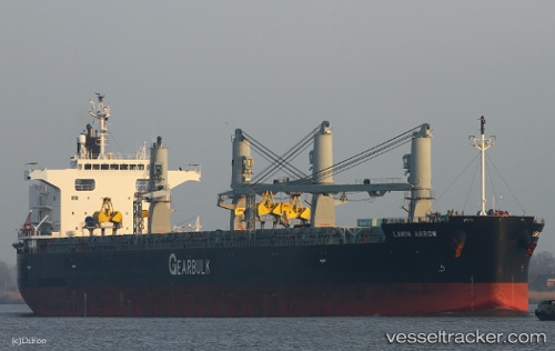
Lawin Arrow
Current StatusWhere is the vessel?
Lawin Arrow is currently in 26 nm NE of Dorp Rincón, based on AIS data received less than 1h ago.
Latest AIS update:
Current position: 12.56346° N, 68.05874° W (26 nm NE of Dorp Rincón)
Average speed (last 7 days): Loading…
Average speed (last 30 days): Loading…
Vessel profile: Lawin Arrow is a Bulk Carrier with dimensions 32m x 200m.
This page combines live AIS, route history, probable destination signals, nearby traffic, and port activity for practical vessel monitoring.
The current position of vessel Lawin Arrow is 12.56346 lat / -68.05874 lng. Updated: 2026-04-08 07:13:19 UTCNearest reference points:
- Near Bullenbaai
- 148 nm N of Dorp Rincón
- 24 nm NW of Palm Beach
Details:
Live Vessel Lawin Arrow Analytics (details, animations, etc.)
Recent AIS points (UTC):
2026-04-08 01:26:45 UTC · 12.69514, -69.02808 · SOG 9.3 kn · COG 100°2026-04-08 03:57:20 UTC · 12.64186, -68.61717 · SOG 9.8 kn · COG 102°
2026-04-08 05:54:10 UTC · 12.59320, -68.28556 · SOG 10.2 kn · COG 96°
2026-04-08 07:13:19 UTC · 12.56346, -68.05874 · SOG 10 kn · COG 102°