 vesseltracker.com
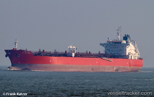
 TORM DOVER
Current Status
Where is the vessel?
TORM DOVER is currently in 293 nm N of Amurang, based on AIS data received about 1h ago.
Latest AIS update:
Current position: 5.76071° N, 126.23273° W (293 nm N of Amurang)
Average speed (last 7 days): Loading…
Average speed (last 30 days): Loading…
Vessel profile: TORM DOVER is a Tanker with dimensions m x m.
This page combines live AIS, route history, probable destination signals, nearby traffic, and port activity for practical vessel monitoring.
The current position of vessel TORM DOVER is 5.76071 lat / -126.23273 lng. Updated: 2026-04-19 06:04:35 UTCNearest reference points:
- 299 nm NW of Amurang
- Open sea, approx. 404 nm off the nearest listed port
- Open sea, approx. 412 nm off the nearest listed port
Currently sailing under the flag of Denmark ![]()
Details:
Live Vessel TORM DOVER Analytics (details, animations, etc.)
Recent AIS points (UTC):
2026-04-18 23:28:09 UTC · 5.25167, -124.87833 · SOG 13 kn · COG -1°2026-04-19 01:53:42 UTC · 5.44789, -125.36992 · SOG 12.9 kn · COG 289°
2026-04-19 03:42:17 UTC · 5.59070, -125.74111 · SOG 13.1 kn · COG 290°
2026-04-19 06:04:35 UTC · 5.76071, -126.23273 · SOG 13.2 kn · COG 290°